Interactive site plans connected to live property inventory
Transform the aerial render you already use into the starting point of a complete buyer journey-not an isolated visual widget.
The problem
A beautiful masterplan should also help buyers decide
UnitAtlas maps clickable buildings or plots over your project image and connects them to live building, floor and apartment data managed by your team.
What changes with UnitAtlas
- Help buyers understand position and context
- Keep availability current without remaking graphics
- Capture enquiries from the exact unit viewed
- Reuse the same data in sales and marketing workflows
How it works in UnitAtlas
Purpose-built workflows connected to the same live project data.
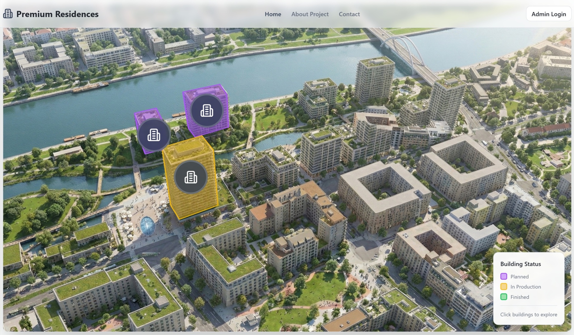
Precise polygon mapping
Define interactive areas over existing project imagery.
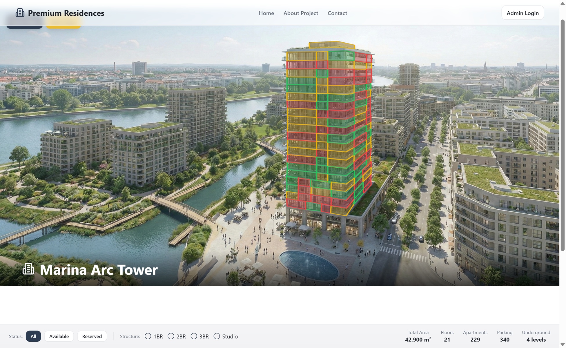
Live status and detail
Open building and apartment information directly from the plan.
Precise polygon mapping
Define interactive areas over existing project imagery.
Live status and detail
Open building and apartment information directly from the plan.
Responsive buyer experience
Give buyers an explorable project on desktop, tablet and mobile.
Common questions
Tell us about your project
Book a focused 20-minute walkthrough. We'll show the buyer experience, live inventory, CRM and sales intelligence that matter to your team.
Quick response
We reply within 24 hours
Personalized demo
Built around your project and sales process
No commitment
Free consultation, no strings attached